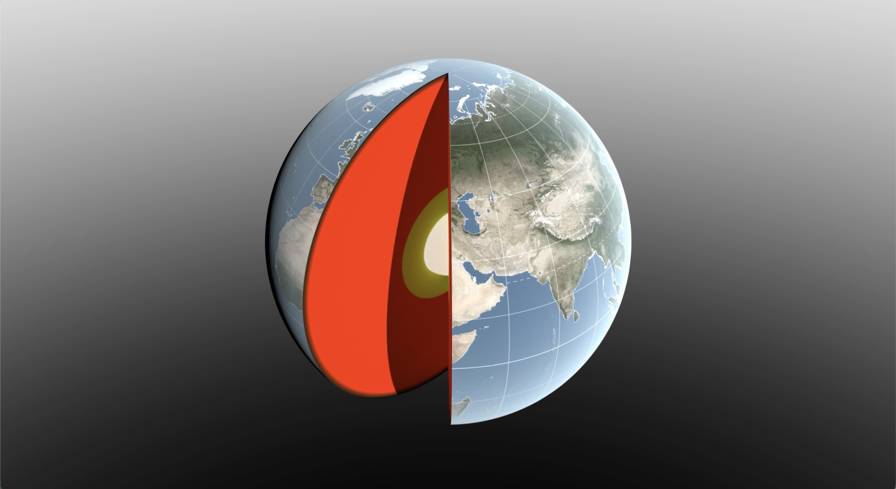
Earth's center of mass isn't quite where geometry says it should be — and it moves. Water locked in snow, monsoon rains and ocean swell shifts enough mass around the planet each year to nudge its center of gravity by a few millimeters, a wobble that matters for everything from satellite navigation to tracking sea-level rise. A new NASA-led technique, announced last month, roughly halves the uncertainty in measuring that motion.
Geoscientist Donald Argus of NASA's Jet Propulsion Laboratory led the work, published in Geophysical Journal International with coauthor Felix Landerer and collaborators from the University of Nevada, the University of Montana and Germany's Helmholtz Centre for Geosciences. The team combined laser ranging to the LAGEOS satellites, GPS tracking and data from several low-Earth-orbit satellites, while separately modeling how the weight of seasonal water and ice deforms the ground beneath tracking stations — a deformation that had been muddying earlier estimates.
Why the Numbers Matter
The payoff: Argus's new estimate of the annual back-and-forth swing in Earth's center of mass comes out to roughly half of what the same kind of analysis found eight years ago. The two most recent international estimates, from 2017 and 2023, had disagreed by about 7 millimeters — nearly as large as the motion itself, underscoring how imprecise the measurement had been. The new figures show snow piling up across North America and Eurasia each March pulls the center of mass about 3 millimeters toward the North Pole, while peak Amazon basin rainfall in April — some 2,400 gigatons of water — pulls it about 2.2 millimeters toward South America. From August to October, swelling in the South Pacific dominates the pattern, since the ocean's sheer size outweighs smaller seasonal signals elsewhere.
"[The mass of water and air moving between hemispheres] is smaller than previously thought," Argus said, noting the new estimate is "about half of what we believed it to be eight years ago." Landerer said the stakes are practical, not abstract: "our modern world relies on extremely accurate positioning measurements," from GPS navigation to satellite mapping of melting ice sheets, and all of those systems are ultimately anchored to Earth's shifting center of mass.
The authors are careful to note their results still depend on modeled estimates of atmospheric and water-mass movement, and on a laser-ranging network of ground stations that remains unevenly distributed around the globe — limitations the new crust-deformation modeling narrows but does not eliminate. NASA says the findings are consistent with independent measurements from its GRACE-FO satellite mission, and the team expects the technique to sharpen future reference frames used for mapping sea-level change, ice loss and tectonic motion.